Abstand zwischen Victoria und Medicine Hat
- Kanada
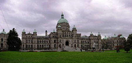
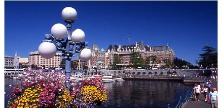
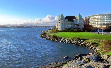
- Victoria
- Entfernungen Victoria
Entfernungsinformationen Victoria, Kanada-Medicine Hat
Geografische Entfernung von Victoria nach Medicine Hat 937.92 Kilometer
581.88 Meilen
505.94 nautische Meilen
Straße Abstand zwischen Victoria und Medicine Hat
Entfernung auf der Karte von Victoria, Kanada, Medicine Hat
Nächste Entfernungen von Victoria, Kanada
| Stadt |
Distanz |
| White Rock |
77.37 km |
| Nanaimo |
91.41 km |
| Vancouver |
93.37 km |
| Everett |
99.69 km |
| Abbotsford |
102.82 km |
| Seattle, WA |
119.33 km |
| Mount Baker, WA |
121.64 km |
| Chilliwack |
131.23 km |
| Olympia, WA |
159.81 km |
| Wentatchee, WA |
254.57 km |
| Ellensburg, WA |
264.85 km |
| Yakima, WA |
296.1 km |
| Kelowna |
325.18 km |
| Portland, OR |
327.96 km |
| Portland |
328.16 km |
| Kamloops |
331.58 km |
| Kennewick, WA |
404.01 km |
| Spokane, WA |
451.86 km |
| Walla Walla, WA |
461.66 km |
| Spokane Valley, WA |
463.26 km |
| Prince George |
611.05 km |
| Missoula, MO |
720.59 km |
| Calgary |
729.12 km |
| Nampa, MO |
752.44 km |
| Meridian, ID |
760.21 km |
| Boise, ID |
769.51 km |
| Lethbridge |
780.02 km |
| Sandspit |
798.13 km |
| Red Deer |
800.15 km |
| Grande Prairie |
811.58 km |
Wählen Sie Stadt, Entfernung von Victoria, Kanada zu berechnen
Entfernungen von Medicine Hat zu überprüfen